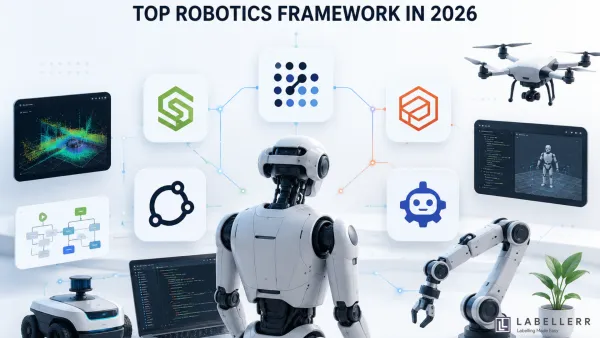
Robotics Frameworks 5 Top Robotics Frameworks Dominating 2026 Discover the top robotics frameworks in 2026, including ROS 2, NVIDIA Isaac ROS, Gazebo, MoveIt 2, and NVIDIA Isaac Lab. Learn how each framework powers robot simulation, perception, motion planning, and AI training in modern robotics.
Anthropic Claude AI Claude Opus 5: Anthropic's Most Efficient AI Model Discover everything about Claude Opus 5, Anthropic's latest AI model. Learn its key features, performance improvements, pricing, enterprise use cases, benchmarks, and how it compares with GPT-5.5, Gemini, and Claude Sonnet 5.
Gemini 3.6 Flash Gemini 3.6 Flash vs 3.5 Flash-Lite vs Cyber Google's Gemini 3.6 Flash, 3.5 Flash-Lite, and 3.5 Flash Cyber introduce faster AI agents, lower costs, and specialized security capabilities. Learn how each model compares in speed, pricing, benchmarks, and ideal production use cases.
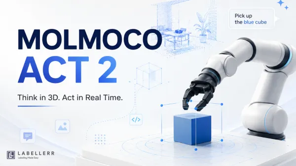
MolmoAct2 Why MolmoAct2 Is a Major Step for Embodied AI in 2026 MolmoAct2 is a fully open Vision-Language-Action model that brings real-time embodied reasoning to robotics. Learn how its open datasets, adaptive depth reasoning, and high-speed control enable reliable robot deployment beyond controlled lab environments.
AI Model Qwen 3.8: Alibaba's Next-Gen Multimodal AI Discover everything about Qwen 3.8, Alibaba Cloud's latest 2.4 trillion-parameter multimodal AI model. Explore its architecture, features, capabilities, enterprise use cases, pricing, limitations, and how it compares with today's leading frontier AI models.
Kimi K3 Kimi K3: World's First Open 2.8T Parameter AI Model Kimi K3 is the world's first open-weight 2.8T parameter AI model, introducing Kimi Delta Attention, Stable LatentMoE, and a 1M-token context window. Explore its architecture, benchmarks, pricing, API, and why it marks a major milestone for open-source AI.
Robostral Navigate Robostral Navigate vs Traditional Robot Navigation Discover how Mistral's Robostral Navigate enables robots to navigate using only a single RGB camera and natural language. Learn about its novel prefix-caching training, simulation-first approach, benchmark results, and what it means for the future of physical AI.
ChatGPT ChatGPT Work: OpenAI's Ultimate Autonomous Workspace Agent Explore the ultimate comparison between ChatGPT Work and Claude Cowork. Discover how OpenAI's cloud-native artifact factory competes against Anthropic's desktop-first file operator. Learn which autonomous AI agent is best for your team's workflow, integrations, and budget.
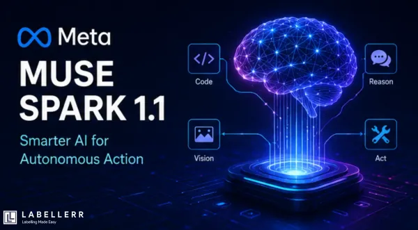
Meta AI Meta Muse Spark 1.1: The Future of Agentic AI and Coding Learn how to integrate Muse Spark 1.1 using the Meta Model API. Switch your current OpenAI or Anthropic SDK setups with a single line of code to easily deploy multimodal inputs, code generation, and stateful agentic workflows that preserve thinking blocks across turns.
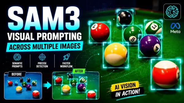
SAM3 SAM3 for Cross-Prompt Detection: A Practical Walkthrough Learn how SAM3 enables cross-prompt detection using text and exemplar prompts to segment objects across image batches. Discover its architecture, Promptable Concept Segmentation, and how it streamlines AI data annotation workflows with Labellerr.
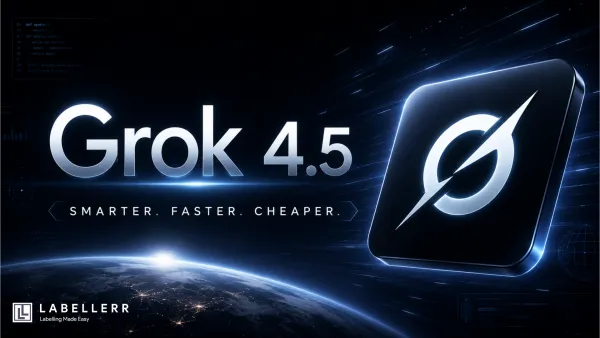
Grok 4.5 Grok 4.5: SpaceXAI's Fastest, Most Efficient Coding Model Discover everything about Grok 4.5, xAI's latest frontier AI model. Explore its architecture, coding benchmarks, token efficiency, pricing, real-world capabilities, and how it compares with other leading AI models in 2026.
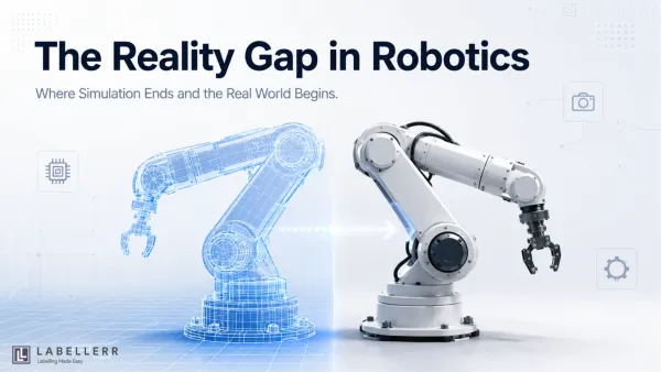
reality gap in robotics How to Bridge the Reality Gap in Robotics Training Discover what the reality gap in robotics is, why robots fail when moving from simulation to the real world, and the latest techniques like domain randomization, system identification, and digital twins that improve sim-to-real transfer.
Gemini Google Gemini Omni Flash 2026: The Future of AI Video Editing Discover Google's Gemini Omni Flash, a multimodal AI model that lets you generate and edit video conversationally. Learn about its unified architecture, API, and how it transforms video production.
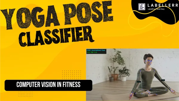
Keypoint Annotation AI Yoga Pose Classifier & Posture Tracking Learn how to build a real-time AI yoga pose classifier using a custom YOLO11-Pose model trained on Labellerr data. Explore how trigonometric joint calculations, custom safeguards, and frame-accurate HUD overlays transform a standard video stream into an automated computer vision coach.
Claude Sonnet 5 Claude Sonnet 5 vs Sonnet 4.6: Performance, Cost & Features Compare Claude Sonnet 5 vs Sonnet 4.6 across benchmarks, pricing, coding, agentic AI capabilities, reasoning effort, and real-world performance to discover which Anthropic model is best for production AI workflows.
Unlimited OCR Unlimited OCR: How Baidu Solves Long Document OCR Discover Baidu's Unlimited OCR, an end-to-end OCR model powered by Reference Sliding Window Attention (R-SWA). Learn how it eliminates KV cache growth, maintains constant memory usage, and efficiently parses long documents with state-of-the-art accuracy.
Mixture of Experts LLM 7 Top Mixture of Experts AI Models for Developers in 2026 Explore the top open-source Mixture of Experts (MoE) LLMs in 2026, including GLM-5.2, DeepSeek V4-Pro, Kimi K2.6, Qwen3-Coder-480B, and more. Compare architecture, performance, licensing, context windows, and the best use cases.
computer vision AI Powered Pushup Counter & Form Corrector Learn to build an AI personal trainer using a custom YOLO11 pose estimation pipeline. Labeled on Labellerr, this project uses real-time computer vision and joint trigonometry to count pushup reps, check hip angles, and provide instant form correction feedback.
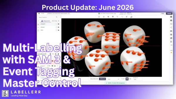
Product Update: June 2026 This month, Labellerr introduces major improvements to video event annotation workflows and foundation model-powered segmentation. These updates are designed to help annotation teams work faster, maintain higher accuracy, and manage complex video and image labeling tasks with greater efficiency. Master Control Panel for Event Tagging Annotation Managing event annotations across
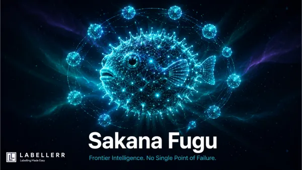
Sakana Fugu Sakana Fugu: The Model That Outsmarts Claude Fable 5 Sakana Fugu introduces a new AI paradigm: a learned multi-agent orchestration system that coordinates multiple frontier models through TRINITY and Conductor architectures, delivering state-of-the-art performance while improving resilience, flexibility, and AI sovereignty.
Egocentric AI Real-Time Focus and Distraction Monitoring AI Learn to build an egocentric workspace assistant using a custom computer vision pipeline. By combining custom YOLO instance segmentation on Labellerr with a smart state machine, this project tracks hand-object proximity in real time to calculate a reliable daily focus percentage score.
GLM-5.2 GLM-5.2 Just Beat GPT-5.5 at a Sixth of the Cost GLM-5.2 is a 753B-parameter open-weight AI model with a 1M-token context window, MIT licensing, and coding performance that rivals GPT-5.5 and Claude Opus 4.8 while costing significantly less to deploy and operate.
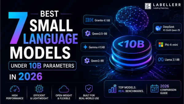
small language models 7 Best Small Language Models Under 10B Parameters in 2026 Discover the 7 best open-weight AI models under 10B parameters in 2026. Compare Granite, Qwen, Gemma, DeepSeek, Phi, and Llama across benchmarks, performance, hardware requirements, and real-world use cases.
Data Annotation Software 7 Best Data Annotation Software in 2026 Compare the best data annotation software of 2026, including Labellerr, CVAT, Label Studio, SuperAnnotate, V7 Darwin, Encord, and Labelbox. Discover features, pricing, supported data types, and how to choose the right platform for your AI projects.
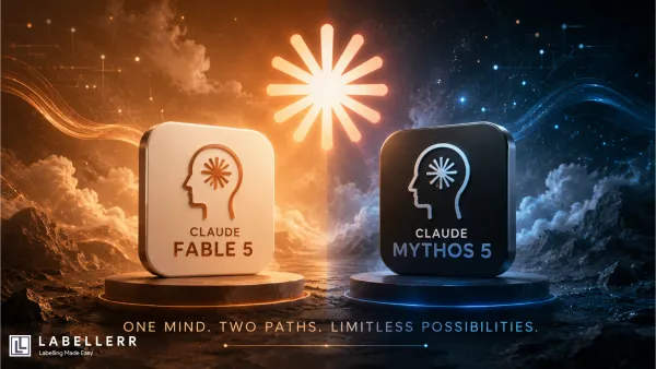
Claude Fable 5 Claude Fable 5 vs Mythos 5: Review and Benchmark Analysis Claude Fable 5 and Mythos 5 introduce Anthropic's new Mythos-class AI tier, combining breakthrough coding, reasoning, vision, and scientific capabilities with advanced safety controls designed for frontier-level AI deployment.